Hikes and Walks in Sauze d’oulx
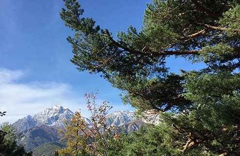
Sauze d’Oulx has many hundreds of walks, marked trails and places to explore on foot from the high Alps to to the Gran Bosco National Park. There’s something for people of all fitness levels.
Maps are available from Sauze Tourist Information along with books and guides. The equivalent of Ordnance Survey maps can be bought in the newsagents in Sauze and in Bar Jouvenceaux.
The connection to the free OUTDORACTIVE platform offers the possibility of downloading tracks and knowing all the details of recommended routes in and around the area.
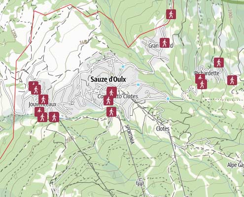
Interactive Hiking Map
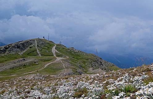
This interactive map gives you a good overview of some of the routes available for hiking in the mountains.
Always choose routes that you are physically capable of and ensure you let someone know where you are going and when you aim to return.
View Sauze d’Oulx interactive hiking map
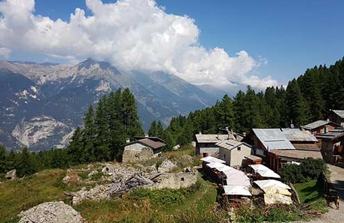
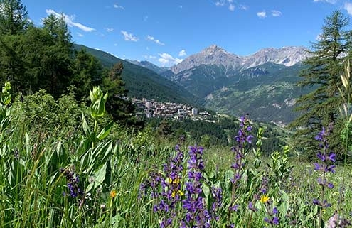
A selection of popular Sauze d’Oulx hiking routes
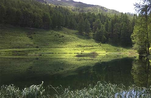
Lago Laune – Ferro di Cavallo
Difficulty: easy
Distance: 1.1 km
Duration: 0:30 h
Ascent: 120 m
Highest: 2,170 m
Lowest: 2,050 m
Testa dell’Assietta – Strada dei Cannoni
Difficulty: moderate
Distance: 10.1 km
Duration: 3:30 h
Ascent: 765 m
Highest: 2,560 m
Lowest: 1,795 m
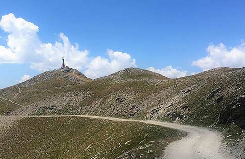
Lago Laune e Monte Genevris
Difficulty: difficult
Distance: 4.9 km
Duration: 2:30 h
Ascent: 700 m
Highest: 2,535 m
Lowest: 1,850 m
Richardette – Ciao Pais
Difficulty: moderate
Distance: 1.7 km
Duration: 1:00 h
Ascent: 210 m
Highest: 1,904 m
Lowest: 1,694 m
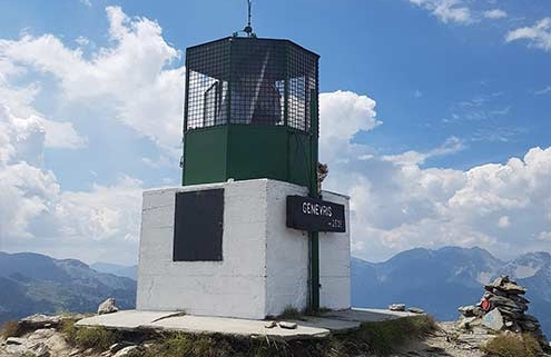
Richardette – Monte Genevris
Difficulty: moderate
Distance: 4.0 km
Duration: 3:00 h
Ascent: 820 m
Highest: 2,535 m
Lowest: 1,695 m
Tachier – Malafosse Alta
Difficulty: easy
Distance: 3.1 km
Duration: 1:15 h
Ascent: 270 m
Highest: 1,810 m
Lowest: 1,540 m
Gran Villard – Richardette
Difficulty: moderate
Distance: 2.6 km
Duration: 1:30 h
Ascent: 348 m
Highest: 1,868 m
Lowest: 1,519 m
Clotes – Sportinia
Difficulty: moderate
Distance: 5.2 km
Duration: 2:15 h
Ascent: 605 m
Highest: 2,135 m
Lowest: 1,530 m
Barracan
Difficulty: easy
Distance: 2.5 km
Duration: 1:15 h
Ascent: 190 m
Highest: 1,575 m
Lowest: 1,380 m
1:25,000 walking maps
Recommended walking maps for the area available online and from Gorlier Tabacchi, Bar Jouvenceaux and the Tourist Office.

IGC 105 Sestriere – Claviere – Sansicario

IGC 104 Bardonecchia – Sauze d’Oulx

Fraternali 2 Alta Valle Susa
Link to: Ski Area & Piste Map
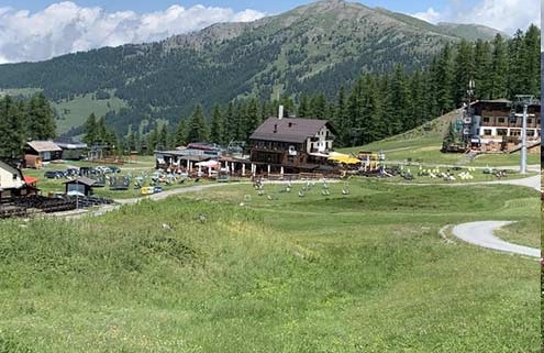
Hiking Monte Genevris
Link to: Bicycle Hire
Bike Hire
Rent your E-bike, Downhill, MTB in Sauze d’Oulx
Link to: Mountain Biking

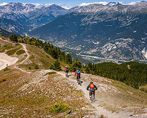
Mountain Biking
Mountain Biking in Sauze d’Oulx
Link to: Jogging & Trail Running

Jogging/Trail Running
Jogging & Trail Running in Sauze d’Oulx
Link to: Strada dell’Assietta
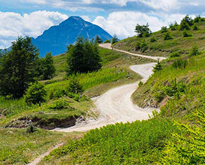
STRADA DELL’ASSIETTA
A wonderful trail for mountain bikers, hikers & more
Link to: Natural and landscape resources

GRAN BOSCO
The beautiful Gran Bosco Natural Park
Link to: Adventure Village
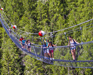
ADVENTURE VILLAGE
Adventure Village & Tibetan Bridge
Link to: Hotels
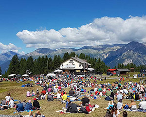
Summer Events
Summer Events in Sauze d’Oulx
Link to: Hotels
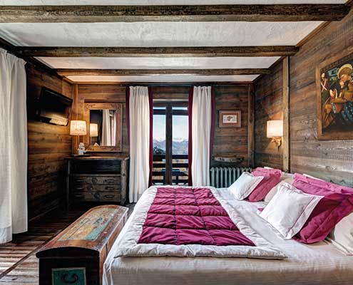
Sauze Hotels
Hotels in Sauze d’Oulx
Link to: Places to Visit

Places to Visit
View Attractions Near Sauze d’Oulx
Link to: Bicycle Hire
Bike Hire
Rent your E-bike, Downhill, MTB in Sauze d’Oulx
Link to: Freeride
Freeride/Bike Park
Sauze Bike Park Information
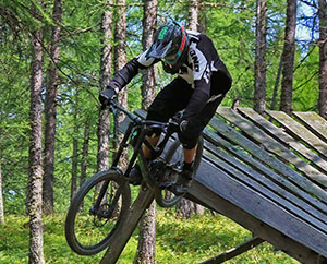
Link to: Mountain Biking
Mountain Biking
Sauze d’Oulx mountain bike
Link to: Road Cycling

Road Cycling
Road cycling Sauze d’Oulx
Link to: Strada dell’Assietta
STRADA DELL’ASSIETTA
Maps and information
Link to: Natural and landscape resources
GRAN BOSCO
Gran Bosco Natural Park